Topographical Surveys
True North Surveys can provide a full range of topography and mapping services for various stages of land development, construction and infrastructure projects.
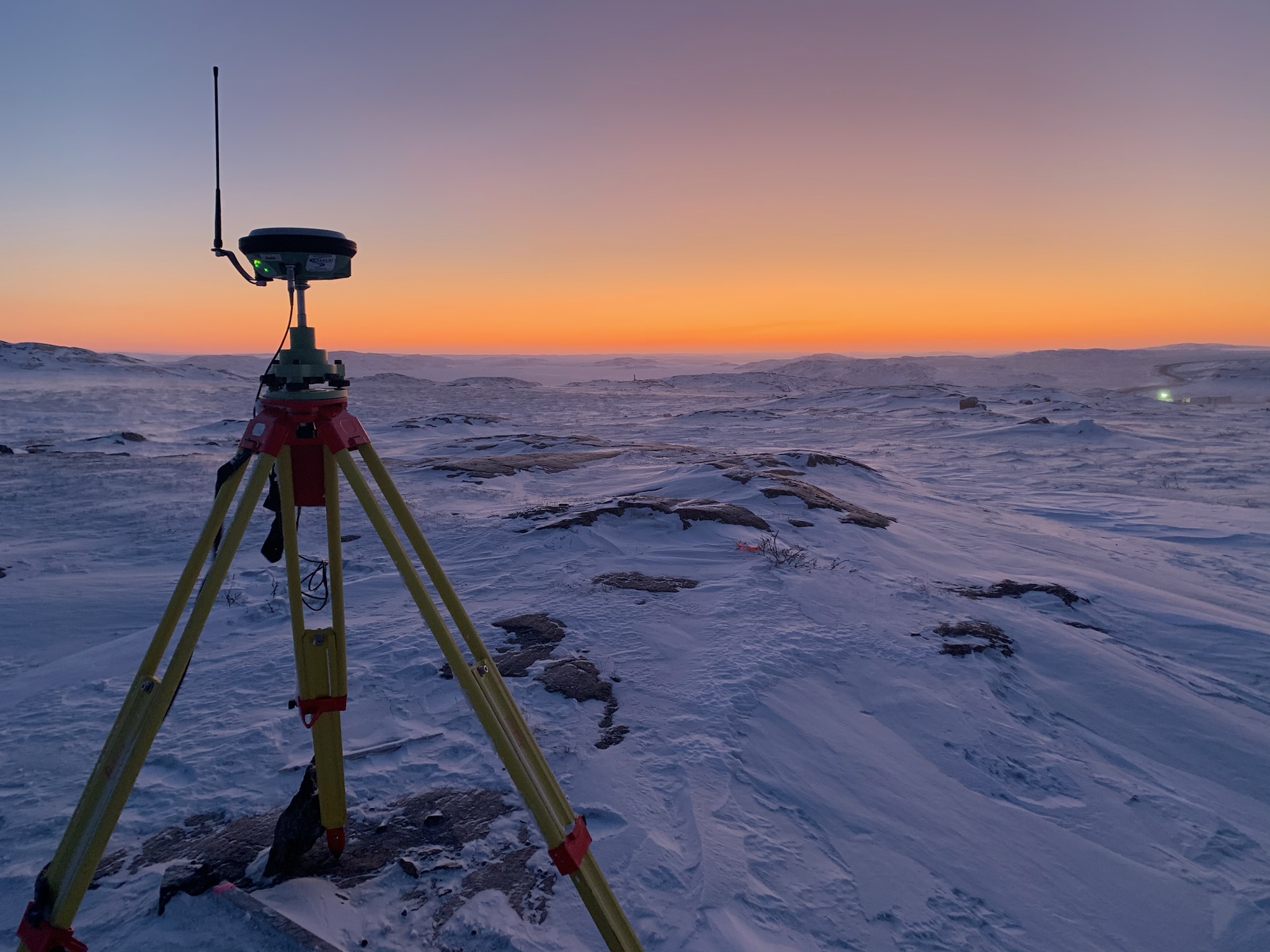
A topographical survey is a detailed mapping of the terrain, capturing the elevation, contours, structures, water bodies, vegetations and other relevant features of a site. We at True North Surveys use a combination of high precision Leica GPS, Total Stations, Laser Scanning and UAV to undertake topographic surveys. All our instruments have the facility of remote surveying for the safety of our employees. Offering precise data is crucial for project planning, design, and execution. These surveys produce accurate and comprehensive representations of the land. Survey information is processed through dedicated 3D mapping software to produce the required outputs.
- Contractors
- Governments
- Municipals
- Mines
- Land Owners

